

3D Laser Scanning Surveys
High-density point cloud capture and registration for complex environments, supporting BIM modelling, coordination and as-built verification.
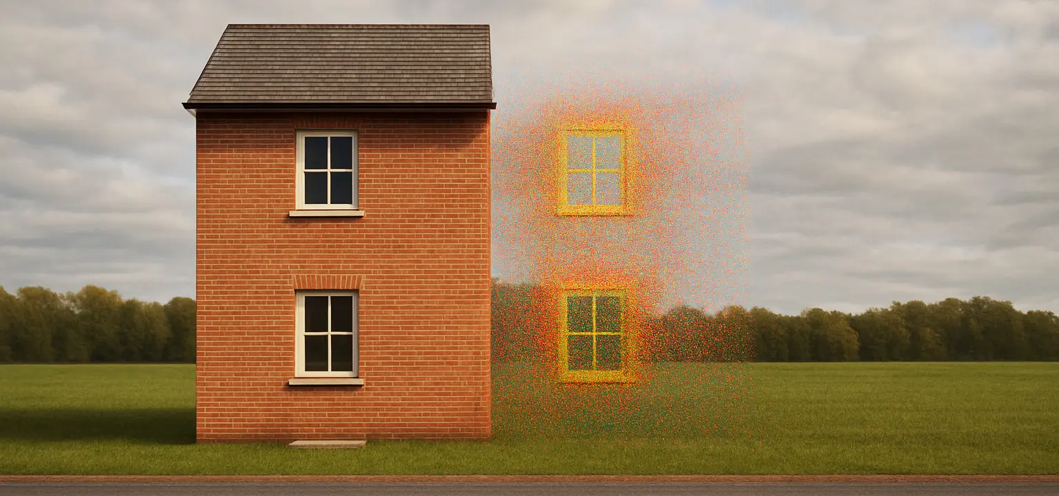
What is 3D Laser Scanning?
3D laser scanning captures millions of points per second to create a dense point cloud of surfaces and structures. It is ideal for complex environments, heritage assets, plants and large buildings where conventional measurement is slow or intrusive.
Why it matters
Design and coordination benefit from detailed geometry. Scans support clash detection, retrofit planning and accurate scan-to-BIM model creation, reducing risk and rework.
How we deliver
We plan scan stations and survey control, acquire data with terrestrial scanners, then register and QA the cloud to project coordinates. We can provide viewer files and support model extraction into CAD/BIM platforms.
Use cases
Hospitals and campuses, heritage buildings, industrial plants, commercial and public buildings, civil structures and as-built verification.
What we deliver
- TLS capture with robust survey control
- Registration, alignment and QA reporting
- Point clouds for BIM/model extraction
- Viewer files and CAD/BIM-ready references
FAQs
Registered point clouds (E57/LAZ/RCP), viewer files and CAD/BIM-ready references. We can assist with model extraction.
Yes — we’ll supply formats suitable for Autodesk and other common platforms.
We work to project-specific tolerances and provide QA/registration reports evidencing accuracy.
Yes — robust control and targets improve registration quality and positional reliability.
Yes — we plan isolations, access and sequencing to minimise disruption and maintain safety.
We can support model extraction or work with your modelling partner; our outputs are BIM-ready.
It varies by scope; we can segment or reduce datasets and provide efficient viewer files.
Depends on complexity; we’ll provide a plan covering capture, registration, QA and deliverables.
Yes — we can integrate multiple survey types into coherent CAD/BIM references.
Yes — RAMS, permits and inductions are coordinated with stakeholders.