

Topographical (Land) Surveys
Feature mapping, levels, boundaries and surface models for planning and design, delivered with clear CAD layering, legends and QA.
What is a Topographical (Land) Survey?
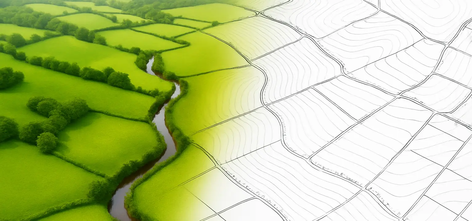
A topographical survey records the natural and built features of a site, including boundaries, buildings, kerbs, surfaces, vegetation, utilities, watercourses and levels. Designers rely on accurate land surveys to develop compliant, efficient schemes.
Why it matters
High-quality topo data reduces design changes, enables clash-free layouts, informs drainage and earthworks, and supports planning applications. Consistent CAD layering and legends make drawings easy to interpret.
How we deliver
We combine GNSS, total station and targeted 3D laser scanning to capture detail quickly and accurately. Outputs include DWG/DXF, surface models, contours, sections and feature schedules with QA.
Typical applications
Residential and commercial sites, infrastructure corridors, public realm, campuses and healthcare estates across the UK.
What we deliver
- Features, levels, boundaries and constraints
- Contours, breaklines, spot levels and sections
- Easements and servitudes mapping (where records exist)
- CAD drawings, 3D surfaces and QA documentation
FAQs
CAD drawings (DWG/DXF) with clear layers and legends, PDFs, 3D surfaces, contours, sections and feature schedules.
We survey to project-appropriate tolerances and provide method statements and QA/ control notes where required.
Yes — we map physical boundary features and can annotate easements/servitudes if records are supplied.
Yes — our DWGs and surfaces are compatible with common BIM and civil design tools.
We can overlay utility survey results or visible evidence; for detection we provide Underground Utility Surveys.
Yes — we generate contours and 3D surfaces with spot levels and breaklines.
Site address, extent, access constraints, any records (titles, services), required deliverables and coordinate system.
Duration depends on site size/complexity; we’ll advise following a brief and plan.
Yes — RAMS, risk assessments and, if needed, permits and inductions in coordination with the client.
Absolutely — we can resurvey or add coverage, updating drawings and surfaces for designers.