

Volume and Levelling Surveys
Stockpile volumes, cut/fill analysis and high-precision levelling for earthworks, reconciliation, compliance and payment verification.
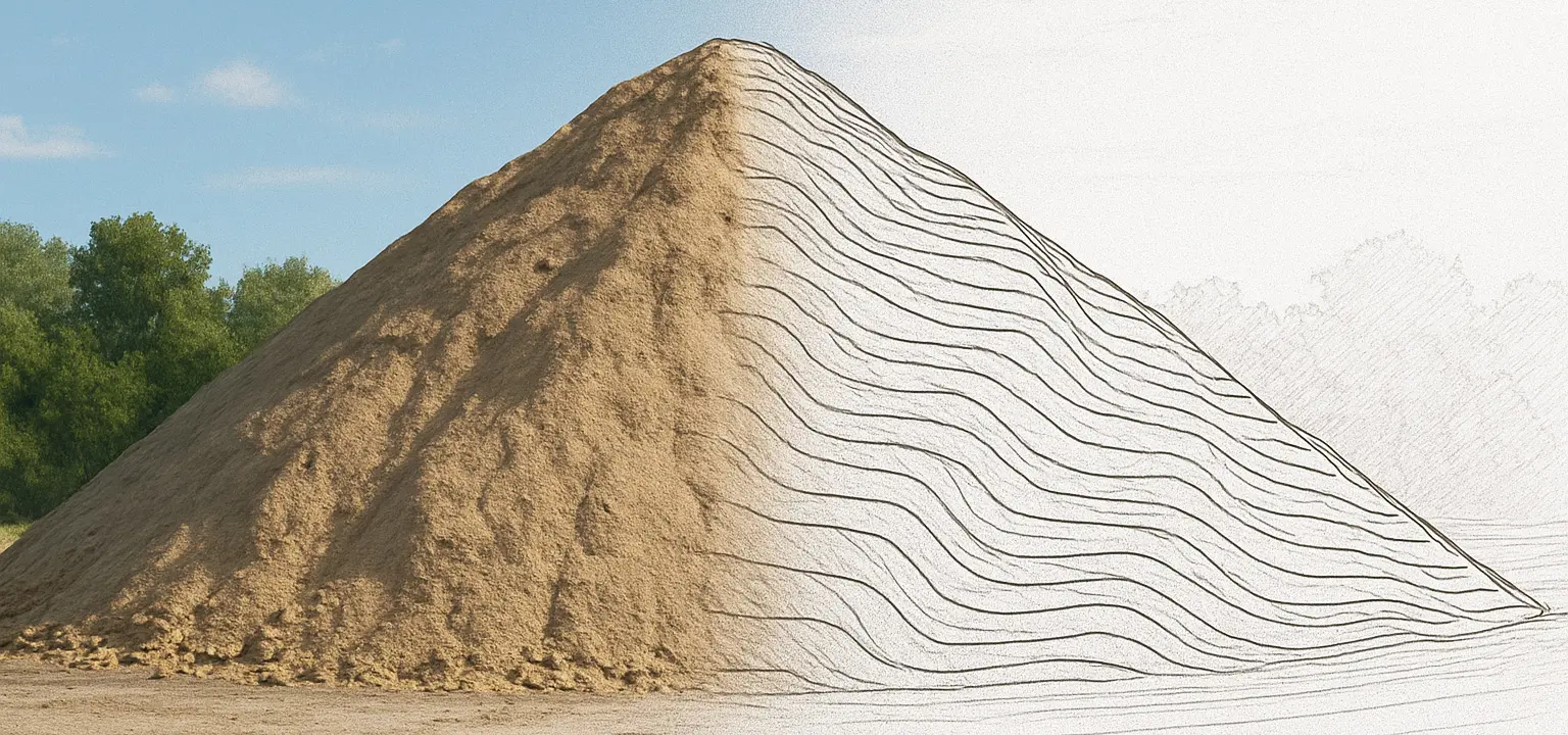
What are Volume & Levelling Surveys?
Volume surveys measure surfaces and stockpiles to calculate quantities for valuations, reconciliation and programme control. Levelling surveys establish benchmarks and track vertical changes over time to detect settlement or movement.
Why they matter
Reliable quantities reduce disputes, support payment certificates and enable cost control. Precision levelling provides early warning of movement, allowing mitigation before issues escalate.
How we deliver
We capture surface data with GNSS/total station (and scanning if required), generate CAD surfaces and compute volumes with documented assumptions. Levelling loops are closed and reported with QA.
Applications
Earthworks, quarries, highways, platforms, landscaping and large-scale civils across the UK.
What we deliver
- Stockpile volume surveys & reconciliation
- Cut/fill analysis, sections and reports
- High-precision levelling and loops
- CAD surfaces, CSV schedules and QA evidence
FAQs
We create surfaces from surveyed points and compute volumes using accepted methods, documenting assumptions and boundaries.
Yes — we compare existing to design/final surfaces to quantify cut/fill and provide drawings and reports.
Accuracy depends on surface complexity and density; we plan capture for the required confidence and provide QA notes.
CAD surfaces, DWG/DXF, sections, PDF reports and CSV quantity schedules.
Yes — we can incorporate aerial surfaces if provided or coordinate with your drone provider.
To establish benchmarks and detect vertical movement/settlement with high confidence.
Interval depends on risk and programme; we’ll recommend frequencies and thresholds.
Yes — loop closures, method notes and control reports can be included.
Yes — we can mobilise quickly to meet valuation deadlines.
DWG/DXF, CSV, PDF and common surface/point formats used by civil design tools.