

Shoreditch Network Rail Arches — PAS 128 Utility Survey
Triple Survey completed a comprehensive PAS 128 utility survey across three Network Rail arches in Shoreditch, Hackney (London) and the surrounding street corridors. Using RD8200 CAT & Genny, DS2000 GPR, FlexiTrace, Leica TS16 total station and Leica GS18t GNSS, we mapped underground services and combined the results with a desktop utility records study in AutoCAD to produce coordinated, construction-ready drawings.
PAS 128 utility mapping
Network Rail arches
EML & GPR
AutoCAD deliverables
Shoreditch / Hackney
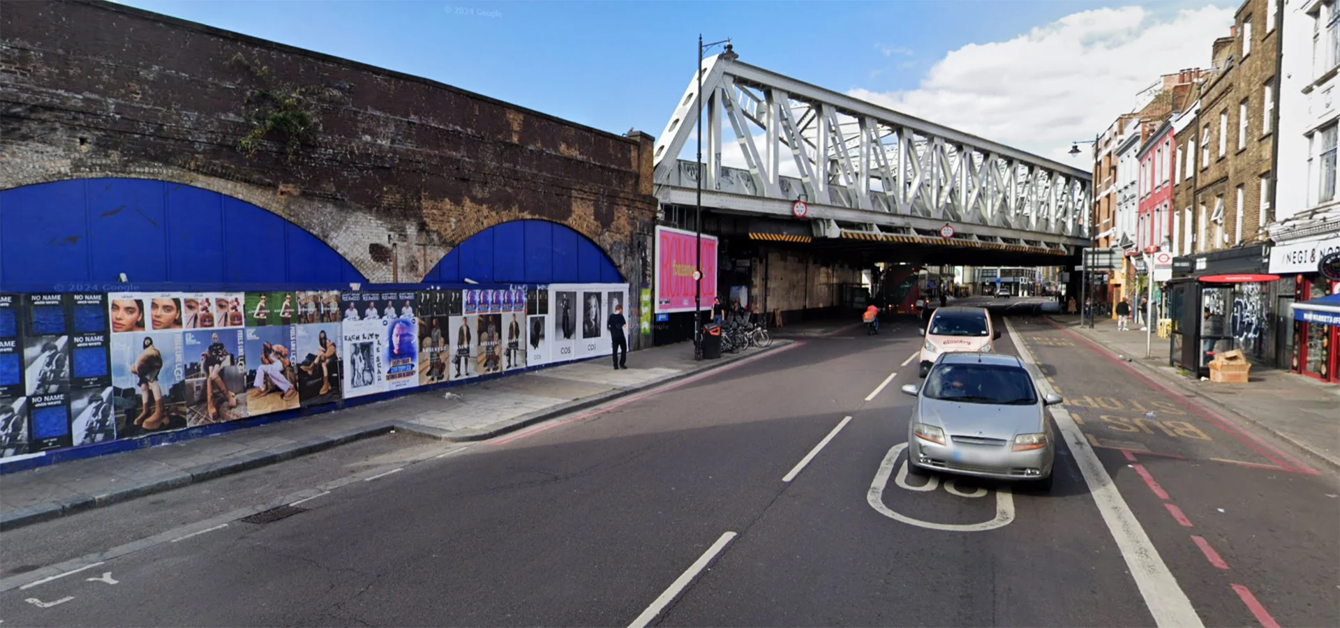
Project Overview
Working within and around the Network Rail arches demanded meticulous planning, access coordination and safety controls. We combined electromagnetic locating (RD8200), GPR (DS2000) and tracing techniques (FlexiTrace) with survey control from the Leica TS16/GS18t to locate, classify and draw underground utilities to PAS 128 guidance. Results were reconciled with a desktop utility records study to produce a single, clear picture of constraints and routes for future works.
- PAS 128 utility detection and mapping (QL-B), integrated with QL-D desktop records.
- Leica TS16/GS18t control for precise positioning and CAD alignment.
- EML, GPR and FlexiTrace to detect and trace conductive and non-conductive services.
- AutoCAD drawings, layering by service type and confidence coding.
At a Glance
Scope, Access & Desktop Records
We planned access to live rail estate and adjacent streets, collated statutory utility records and historic plans, and set up a consistent coordinate system to align all information in AutoCAD.
 Desktop utility records (QL-D) aligned to site control.
Electromagnetic Locating (EML)
Using the RD8200 CAT & Genny, we traced conductive services and connected to accessible apparatus where safe to do so, enhancing identification and positional confidence.
 RD8200 CAT & Genny tracing conductive services.
Ground Penetrating Radar (GPR)
We deployed the DS2000 GPR to detect non-conductive services and confirm alignments in congested areas. Multiple passes and frequencies were used where practical to strengthen interpretation.
 GPR sweeps to detect non-conductive utilities.
FlexiTrace & Survey Control
FlexiTrace was introduced into ducts to trace non-conductive routes. We tied observations to Leica TS16 and GS18t control for consistent coordinates and levels across arches and streets.
 FlexiTrace tracing with Leica control for accuracy.
AutoCAD Deliverables & Confidence Coding
Field detections were reconciled with desktop records and drawn in AutoCAD with service types, confidence codes and symbology, producing clear drawings for design coordination and construction planning.
 AutoCAD drawings combining detection & desktop data.
Results
- PAS 128 utility mapping across three arches and adjacent streets in Shoreditch.
- EML, GPR and tracing combined with precise survey control.
- AutoCAD drawings, schedules and methodology/limitations report issued.
- Clear constraints and coordinated information for future works.